Published under: statlets, kriging, geostatistics
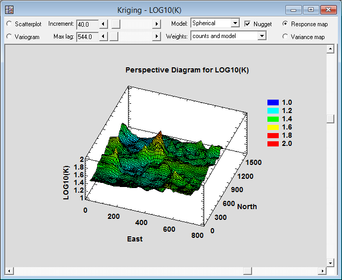
 Kriging is widely used in geostatistics to predict the response over a spatial region given data at various locations throughout the region. A variogram first estimates the spatial dependence. Weighted averages of observed values are then used to predict the response at many locations. Statgraphics XVII plots both predicted values and variances for those predictions. Predictions are also presented in tabular form.
See the Kriging Statlet in action!
Learn more about the extraordinary features in Statgraphics Centurion XVII.

 By:
By: 


